Devils Bottom Conservation Area Adventures
Devils Bottom Conservation Area in Missouri offers rugged terrain and scenic river views, making it an inviting destination for hiking, fishing, and wildlife observation.
About Devils Bottom Conservation Area
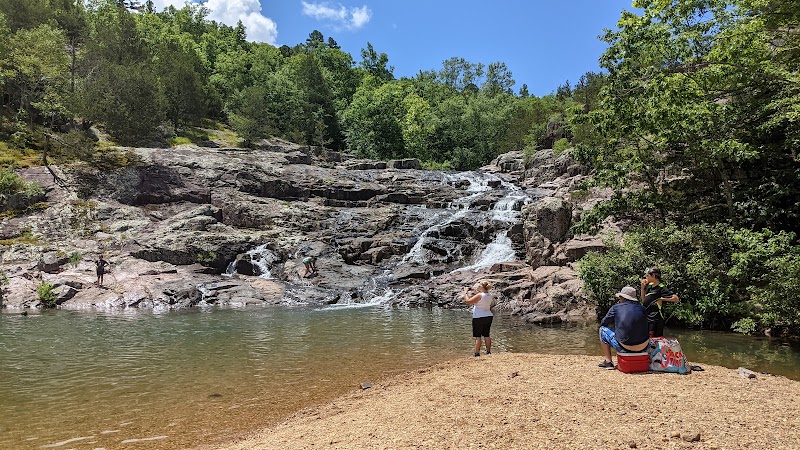
Located in southeastern Missouri along the Current River, Devils Bottom Conservation Area spans rolling hills, forested ridges, and river bottomlands. The area features a mix of upland oak-hickory forests and bottomland hardwoods, providing habitat for diverse wildlife including white-tailed deer, wild turkey, and numerous songbirds. Historically, the land was used for small-scale farming and timber before being designated as a conservation area to protect its unique natural features and to promote outdoor recreation. Visitors can explore several miles of multi-use trails that wind through steep bluffs and scenic river frontage, ideal for day hikes or wildlife watching. The Current River itself is a popular spot for fishing, canoeing, and kayaking, offering a chance to experience clear waters bordered by rocky bluffs and dense forests. Devils Bottom also affords opportunities to observe rare plant species and a variety of migratory birds during spring and fall. Although facilities are modest to preserve the natural character, there are areas suitable for dispersed camping and picnicking. This conservation area appeals to outdoor enthusiasts seeking solitude, scenic beauty, and a chance to connect with Missouri’s river valley ecosystems.
Highlights
Scenic bluff overlooks along the Current River
Upland oak-hickory forest with diverse wildlife
Quiet river access points for canoeing and fishing
Remote trails offering solitude and birdwatching opportunities
Notable Natural Features
Current River Access
Multiple points along the Current River that provide access for fishing, canoeing, and kayaking.
Bluff Overlooks
Elevated viewpoints offering expansive views of the river valley and surrounding forest.
Diverse Forest Types
Contains both upland oak-hickory forests and bottomland hardwoods, supporting a wide range of flora and fauna.